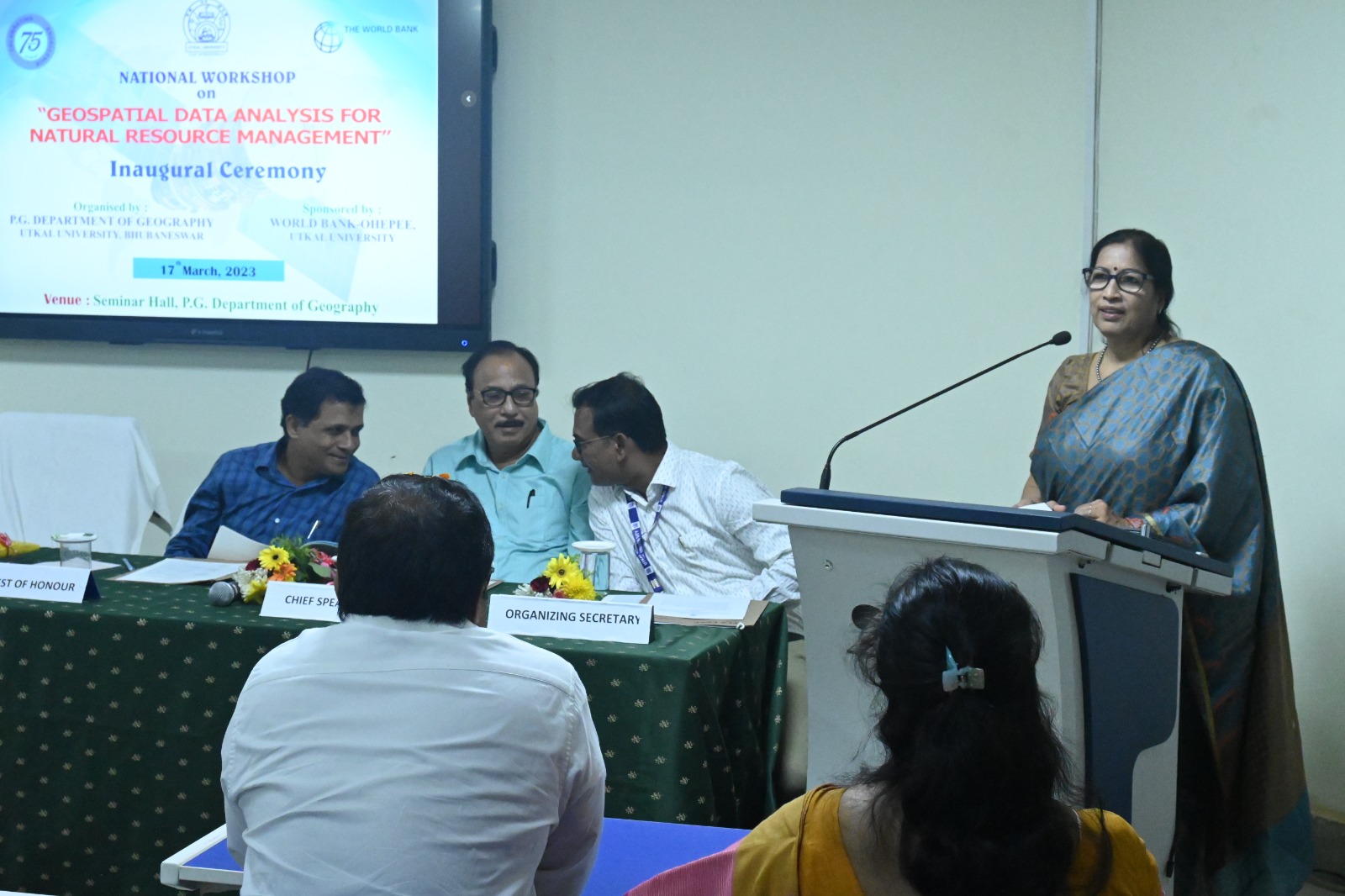
Bhubaneswar: A two days National workshop on “National Works on Geospatial Data Analysis for Natural Resource Management” inaugurated in the department of Geography, Utkal University, today. “It is very important when we are concern with planning, conservation, management of our natural resources. Geospatial Data Analysis along with new technologies (IT) can add new dimension to the situational analysis, can solve the problems, can solve planning and sustainable management of natural resources i:e. land, water, forest and minerals which are under threat due to many reasons throughout the world ” Prof. Sabita Acharya the vice chancellor delivered his thoughts in the occasion.
Prof Gopal Krishna Panda, chief speaker of the day spoke on different dimensions of Geo-spatial technology focusing on Geo-analytics, Geo-design, Geo-visualization and Geo-Collaboration as a paradigm shift of 21st Century. He emphasized building skill on cloud computing, DEM, Web GIS and learning of programming languages for application in Natural Resource Management.
Apart from that Prof. Nigamananda Das, Director, College Development thanked the organizers for having this kind of national workshop and said: “There is a need to prudently manage these delicate resources with the current trend in the advancement in the field of information technology, natural resources managers have now laid a lot of emphasis on the use of geospatial technology in the management of natural resources providing a platform through which managers can generate information that can be used to make sound decisions for sustainable development”.
Dr. Krishna Chandra Rath, Head of the department and the Convener welcomed the guests while Dr. Kabir Mohan Sethy Co-convener introduced the guest on dais. Students, faculties, media persons and staff were present in the workshop. Dr. Ashis Chandra Pathy, Organizing Secretary read the objectives and outcome of the workshop and coordinated the program. Dr. Rumana Khatun ended up the session with her vote of thanks.

